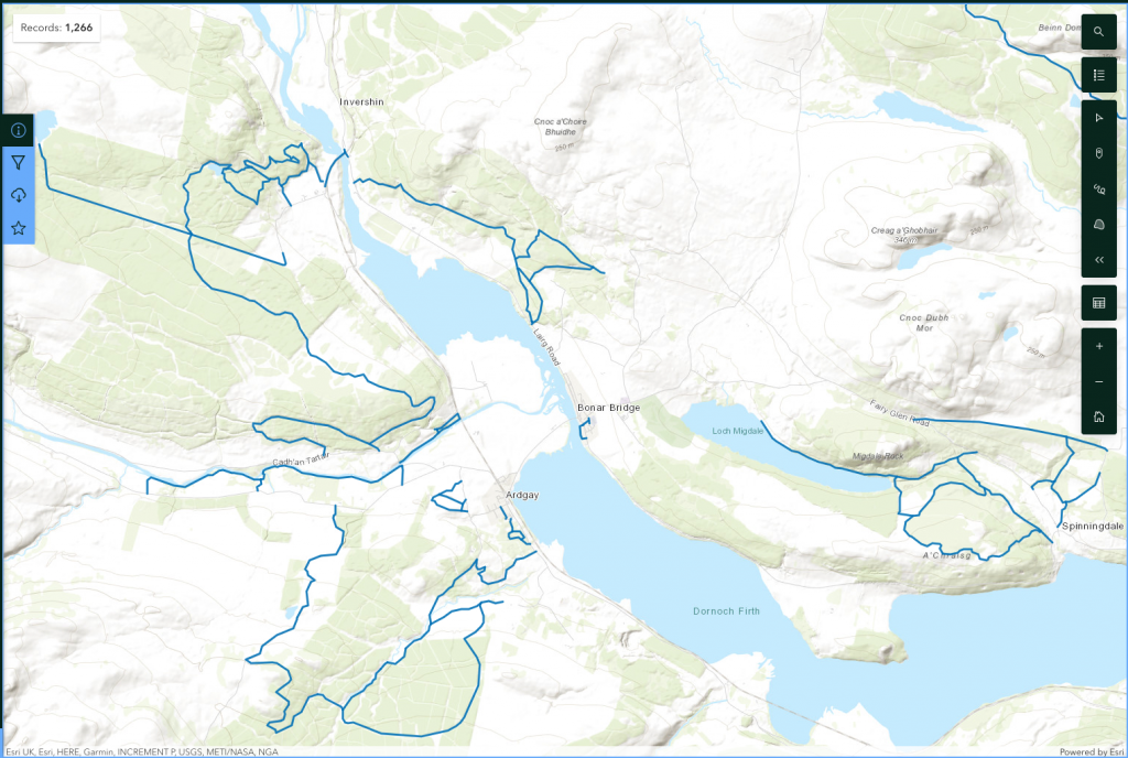
Highland Council’s Map of Core Paths

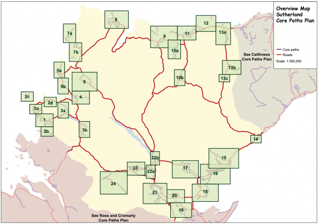
Sutherland overview map

Local core path plans (printable PDF maps)
1 Lochinver; 2 North Assynt; 3 Loch Assynt & Inchnadamph; 4 Kylesku; 5 Scourie; 6 Achfary; 7 Kinlochbervie; 8 Durness; 9 Tongue, Melness & Skerray; 10 Borgie & Rosal; 11 Bettyhill; 12 Armadale & Strathy; 13 Melvich & Forsinard; 14 Helmsdale; 15 Brora; 16 Golspie; 17 Rogart; 18 Dornoch & Embo; 19 Edderton; 20 Spinningdale; 21 Ardgay & Bonar Bridge (including Culrain); 22 Invershin & Lairg; 23 Rosehall; 24 Glen Einig (including Croick)
Access to core paths in the Highlands
Core paths can be paths, waterways or any other means of crossing land to facilitate, promote and manage the exercise of access rights under the Land Reform (Scotland) Act 2003, and are identified as such in access authority core paths plans. A Core Path Plan provides a basic framework of routes for the purpose of giving the public reasonable access throughout a particular area for walking, cycling, horse riding and other non-motorised activities.
Access rights must still be excerised responsibly on core paths. If you have any query about a core path, say lack of directional signage (not all core paths are way marked) or regards the managment of the public of your land, then please contact an access officer for the area, see here.
